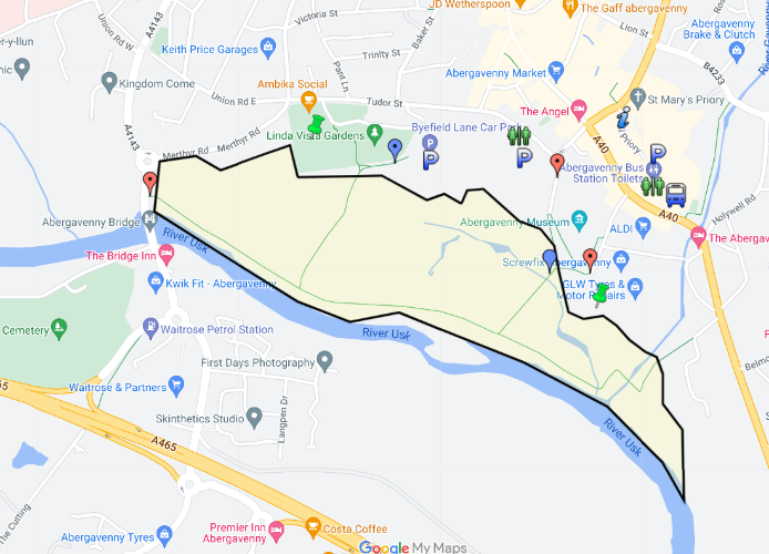
The main access to Castle Meadows is from the Byfield Lane Car Park (blue placemark on map); other entrances from public roads are at Llanfoist Bridge, Castle Street and Mill Street (orange placemarks).
The main paths around the meadows are surfaced, but remember you are walking on the floodplain of a mountain river so parts may be muddy or even underwater at times.
The main paths around the meadows are surfaced, but remember you are walking on the floodplain of a mountain river so parts may be muddy or even underwater at times. You can check the current river level.
The Footsteps to Fitness walk around the meadow is signposted and should take you 3500 strides.
Monlife Countryside Service has a route card for a 2.4km walk around the meadows and Linda Vista Gardens.
The Countryside Service also has an extensive guided walk programme, including around the Meadows. Geocaching sites around the meadows let you test your navigation and finding skills.
Mobility scooters are available at Shopmobility in the Castle Street Car Park.